Bath Stone
Identifies any historic underground extraction of Bath Stone or Fullers Earth or any metalliferous mining activity relating to the property.
SafeMove offers a comprehensive range of nationwide conveyancing search reports for the residential conveyancing process.
Identifies any historic underground extraction of Bath Stone or Fullers Earth or any metalliferous mining activity relating to the property.

Reports on the location of Blackpool tramways and new developments in relation to the property.
Details of any works owned by the trust which may affect the property.

Dye & Durham's Chancel Check report reveals whether there is a potential chancel repair liability for property owners.

A report on the aviation activity near the property including the location of the nearest airfields.
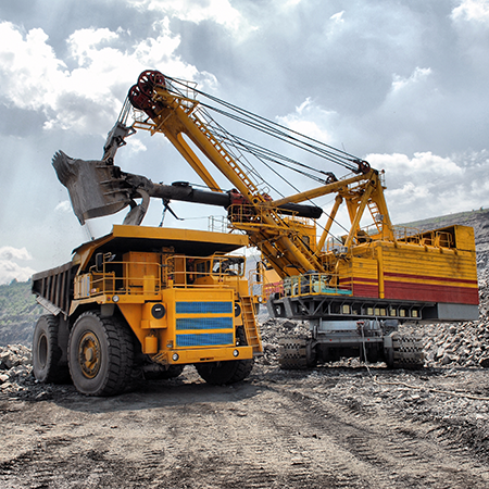
Information on coal mining, brine subsidence claims and natural subsidence hazards
This report provides additional information when mine entries have been revealed in the initial search.
Managing coal mine gas liabilities is part of the Coal Authority’s statutory obligations.
Confirmation that an official search is not required.
Managing coal mining subsidence claims is part of the Coal Authority’s statutory obligations.
Managing coal mining subsidence claims is part of the Coal Authority’s statutory obligations.
Managing coal mining subsidence claims is part of the Coal Authority’s statutory obligations.
Managing coal mining surface hazards is part of the Coal Authority’s statutory obligations.
Information on coal mining and any claims made for the remediation of subsidence.
Designed by environmental consultants and geotechnical engineers, offers essential data and guidance on historic coal mining activity and the potential issues.
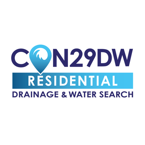

Essential for property transactions across England and Wales, the CON29DW Residential search from SafeMove is the only Law Society copyrighted drainage and water report for property transactions within the Yorkshire Water region.
Environmental + Flood + Ground Stability (with a Professional Opinion provided on all data) Contains all of the information from the Dye & Durham Essential report and includes Ground Stability data.
The Dye and Durham CON29M report is an official Law Society legal search form used when buying and selling domestic properties within coal mining reporting zones.
Environmental + Flood (with a Professional Opinion provided on all data) Meets the requirements of the Law Society’s guidance on flooding and contaminated land.
A property specific analysis of flood risk designed to provide additional insight following a Flood ‘Further Action’ result on an initial environmental search.
The Dye & Durham Ground Report expertly interprets the risk from coal and all other mining, soil-related subsidence and other natural ground hazards, including coastal hazards and recorded ground movement.
Comprehensive planning information enabling homebuyers to make informed decisions.
Environmental + Flood + Ground Stability + Energy & Infrastructure (with a Professional Opinion provided on all data)
A discounted combined product of the Dye & Durham Plansearch and Envirosearch reports.
This search identifies whether any Wayleaves are in place that may affect the property in question.
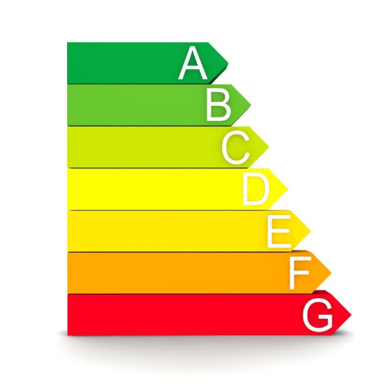
The Energy Performance Certificate (EPC) records the Energy Assessors assessment of the energy efficiency and environmental impact rating of a property.
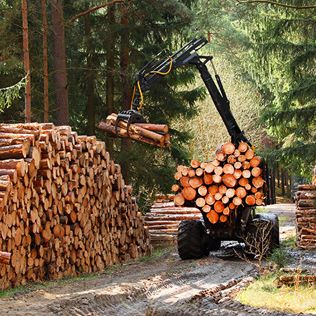
This report includes details of Foresty Commission woodland areas and their designation within the vicinity of the area including felling licence applications.

Enviro All-in-One is a fully integrated residential environmental risk report, brought to you by Groundsure and the Coal Authority.
Avista is the most comprehensive environmental search report available with ten key searches.
Groundsure is the sole provider of the Cheshire Salt Search report in partnership with the Cheshire Brine Subsidence Compensation Board.
The Groundsure CON29M Official Coal Mining Search is an official CON29M coal mining report for residential or commercial properties, brought to you by Groundsure and Mining Searches UK licensed by the Law Society using official Coal Authority Data.
Groundsure’s Energy and Transportation is a new report providing a comprehensive search of existing and planned energy and transport infrastructure.
Groundsure Flood has been redesigned with new features, improved layout and design for clearer navigation improving workflow for conveyancers. This comprehensive report provides a professional assessment of all flood risks.
Historic mining and ground stability affects properties across the country - your clients’ transactions need protecting. GeoRisk is now the standard to provide that protection and assurance.
Historic mining and ground stability affects properties across the country - your clients’ transactions need protecting. GeoRisk is now the standard to provide that protection and assurance.
Groundsure’s Homebuyers report has now been enhanced and improved. Based on Land Registry polygons, with new features, improved layout and design and clearer navigation improving workflow for solicitors the report now includes full planning, energy and transportation searches.
Groundsure Homescreen has been redesigned with new features, improved layout and design for clearer navigation improving workflow for conveyancers. This fully interpreted, risk-rated screening report now uses Land Registry polygons, with enhanced energy, transportation and planning application & restrictions screenings and now now includes a full flood search and complies with Law Society guidance on flood.
Groundsure Planning has been redesigned with new features, improved layout and design for clearer navigation improving workflow for conveyancers. Its complete planning info enables informed property decisions.

This report provides details of the proposals of any planned work or development to any major trunk road or motorway proposals managed by the Highways Agency and within 1200 metres of a property in England.

The Landmark Residential Chancel Report has been developed to provide an accurate analysis of any potential Chancel liabilities.
An informative desktop report, designed to show the potential impact that climate change could have at a property when required to disclose.
The Landmark Coal residential report in collaboration with mining experts Pinpoint is a Regulated, CON29M compliant Coal Report.
Landmarks CON29M Law Society-accredited coal report in collaboration with mining experts PinPoint, provides property-specific information relating to past, current and future underground and surface coal mining activities, for properties or sites in England, Scotland and Wales.
The Energy & Infrastructure report provides accurate and detailed information on a variety of new energy sources and major transport projects that could have an impact upon the value, or a purchaser’s enjoyment of a property.
Envirosearch is Landmark’s core environmental risk report. It provides a contaminated land liability risk assessment under Part 2A of the Environmental Protection Act (1990).
Landmark Flood is a detailed flood risk assessment.
The Site Solutions Highways Report provides key information on the adoption status of roads, paths and verges in a consistent, easy to use report at a fixed cost. The report answers the key questions posed by the London Property Support Lawyers Group (LPSLG) and the Association of Property Support Lawyers (APSL).
Homecheck Residential provides a contaminated land liability risk assessment under Part 2A of the Environmental Protection Act (1990).
Landmark Planning provides unrivalled data accuracy through Planning Applications as Polygons, covering most of the UK.
Riskview Residential is an All-In-One report that delivers its users with comprehensive environmental due diligence. It provides both a contaminated land liability risk assessment under Part 2A of the Environmental Protection Act (1990) as well as a flood risk assessment, which is reviewed by an Argyll Consultant if a high risk is identified.
The Argyll SiteSolutions Residence report is a fully consultant led contaminated land and flood risk assessment.
Dye & Durham's Lawyer Checker checks the sort code and account number of a vendor conveyancer against a constantly updated database of historical property transactions.

The search will make you aware of outstanding financial claims or restrictions such as tree preservation orders, conditions imposed on planning permissions, conservation areas, legal agreements and listed buildings.
A Personal Local Authority Search (PLAS) or Regulated Local Authority Search offers an alternative to the standard Official Local Authority Search (OLAS).
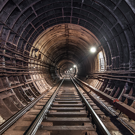
Mail Rail report confirms whether a new development is likely or not to be affected by Royal Mail Tunnels.
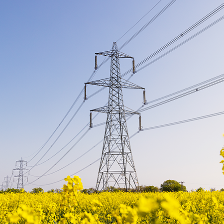
Details of Electric Company equipment affecting the property.
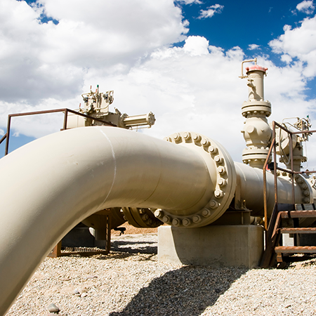
The search result includes details of National Grid maintained gas infrastructure, rights or obligations affecting the property.

Returns details of any issues affecting the property such as.......
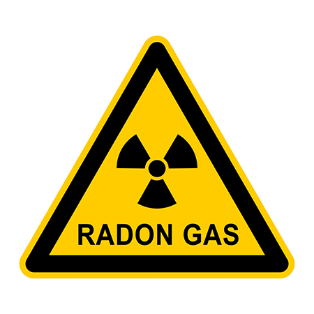
A report to confirm whether or not the property is in a radon affected area.
Details of Electric Company equipment affecting the property.

Details of communication equipment which may affect the property.
Details of communication equipment which may affect the property.
Details of communication equipment which may affect the property.
Details of Virgin Media communication equipment which may affect the property.

This is search is submitted to Cornwall Consultants and the result includes information on the presence of disused underground metal mining workings that could cause subsidence, etc.
Information about existing TfL railway services