Residential Searches
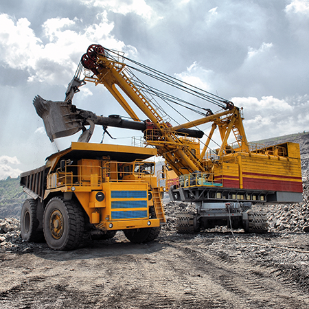
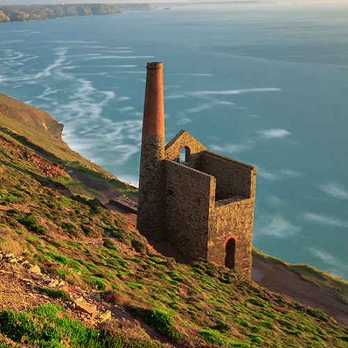
Groundsure GeoRiskHistoric mining and ground stability affects properties across the country - your clients’ transactions need protecting. GeoRisk is now the standard to provide that protection and assurance.
A full mining solution for the conveyancing process - the only desktop mining report you will ever need. Groundsure GeoRisk is not just data – the report’s value rests on advanced data analysis delivering expert insight, interpretation and an extensive understanding of natural and man-made ground risks to property.
GeoRisk provides a detailed assessment of mining and ground risk backed up by in depth and vast datasets covering five key areas:
- Non-coal mining (with opinion provided by an in-house mining expert)
- Ground stability (non-mining, both natural and non-natural)
- Satellite monitoring (recorded ‘real-world’ ground movement brought to you by SatSense)
- Coal mining (GeoRisk +)*
- Brine* (GeoRisk +)*
*GeoRisk + includes everything in the GeoRisk report plus a fully comprehensive Groundsure CON29M Official Coal Mining Search Report (including a mine entry interpretive assessment) and a Cheshire Salt Search where required.
You can use our suite of tailored alerts to identify ground risk and provide your customers with the most relevant report at the right time depending on the property or land’s location. You can be assured that only relevant results are returned, making for concise and easy to follow results and recommendations. This stands us apart from our competitors and avoids customers buying unnecessary additional reports. You only buy what you absolutely need.
GeoRisk gives the expert, bespoke view needed for property and land transactions, with a clean design and user friendly easy to navigate layout.
GeoRisk has been designed and enhanced with comprehensive data features, clean and easy to read layout and design for clearer navigation - streamlining workflow.
Where the comprehensive GeoRisk Alerts give the all-clear for specific or combinations of risks, deliver peace of mind to your customers with the new and cost-effective and competitively priced GeoRisk Certificate products.
GroundSure GeoRisk £58.80
Delivery est. time 24hr
More products
Bath Stone
Identifies any historic underground extraction of Bath Stone or Fullers Earth or any metalliferous mining activity relating to the property.
Coal Authority - Ground Stability
Information on coal mining, brine subsidence claims and natural subsidence hazards
Coal Authority - Mine Entry Interpretive Report
This report provides additional information when mine entries have been revealed in the initial search.
Coal Authority - Mine Gas Emissions Report
Managing coal mine gas liabilities is part of the Coal Authority’s statutory obligations.
Coal Authority - Search Not Required Certificate
Confirmation that an official search is not required.
Coal Authority - Subsidence Claim
Managing coal mining subsidence claims is part of the Coal Authority’s statutory obligations.
Coal Authority - Subsidence Claim 50m buffer Report
Managing coal mining subsidence claims is part of the Coal Authority’s statutory obligations.
Coal Authority - Subsidence Claim History Report
Managing coal mining subsidence claims is part of the Coal Authority’s statutory obligations.
Coal Authority - Surface Hazard incident report
Managing coal mining surface hazards is part of the Coal Authority’s statutory obligations.
Coal Authority CON29M
Information on coal mining and any claims made for the remediation of subsidence.
Coal Authority Consultants Coal Mining Report
Designed by environmental consultants and geotechnical engineers, offers essential data and guidance on historic coal mining activity and the potential issues.
Dye & Durham Enviro Standard
Environmental + Flood + Ground Stability (with a Professional Opinion provided on all data) Contains all of the information from the Dye & Durham Essential report and includes Ground Stability data.
Dye & Durham CON29M Report
The Dye and Durham CON29M report is an official Law Society legal search form used when buying and selling domestic properties within coal mining reporting zones.
Dye & Durham Ground Stability Report
The Dye & Durham Ground Report expertly interprets the risk from coal and all other mining, soil-related subsidence and other natural ground hazards, including coastal hazards and recorded ground movement.
Groundsure Enviro All-in-One
Enviro All-in-One is a fully integrated residential environmental risk report, brought to you by Groundsure and the Coal Authority.
Groundsure Avista
Avista is the most comprehensive environmental search report available with ten key searches.
Groundsure Cheshire Salt Search
Groundsure is the sole provider of the Cheshire Salt Search report in partnership with the Cheshire Brine Subsidence Compensation Board.
Groundsure CON29M
The Groundsure CON29M Official Coal Mining Search is an official CON29M coal mining report for residential or commercial properties, brought to you by Groundsure and Mining Searches UK licensed by the Law Society using official Coal Authority Data.
Groundsure Energy & Transportation
Groundsure’s Energy and Transportation is a new report providing a comprehensive search of existing and planned energy and transport infrastructure.
Groundsure Flood
Groundsure Flood has been redesigned with new features, improved layout and design for clearer navigation improving workflow for conveyancers. This comprehensive report provides a professional assessment of all flood risks.
Groundsure GeoRisk+
Historic mining and ground stability affects properties across the country - your clients’ transactions need protecting. GeoRisk is now the standard to provide that protection and assurance.
Groundsure Homebuyers
Groundsure’s Homebuyers report has now been enhanced and improved. Based on Land Registry polygons, with new features, improved layout and design and clearer navigation improving workflow for solicitors the report now includes full planning, energy and transportation searches.
Groundsure Homescreen
Groundsure Homescreen has been redesigned with new features, improved layout and design for clearer navigation improving workflow for conveyancers. This fully interpreted, risk-rated screening report now uses Land Registry polygons, with enhanced energy, transportation and planning application & restrictions screenings and now now includes a full flood search and complies with Law Society guidance on flood.
Groundsure Planning
Groundsure Planning has been redesigned with new features, improved layout and design for clearer navigation improving workflow for conveyancers. Its complete planning info enables informed property decisions.
Landmark Coal Residential
The Landmark Coal residential report in collaboration with mining experts Pinpoint is a Regulated, CON29M compliant Coal Report.
Landmark Coal CON29M
Landmarks CON29M Law Society-accredited coal report in collaboration with mining experts PinPoint, provides property-specific information relating to past, current and future underground and surface coal mining activities, for properties or sites in England, Scotland and Wales.
Landmark SiteSolutions Residence
The Argyll SiteSolutions Residence report is a fully consultant led contaminated land and flood risk assessment.
Tin - Cornwall Consultants
This is search is submitted to Cornwall Consultants and the result includes information on the presence of disused underground metal mining workings that could cause subsidence, etc.