Residential Searches
Dye & Durham Ground Stability ReportThe Dye & Durham Ground Report expertly interprets the risk from coal and all other mining, soil-related subsidence and other natural ground hazards, including coastal hazards and recorded ground movement.
The Dye & Durham Ground Report is the original ground risk report that provides your clients with the professional opinion of Dye and Durham's geologists, scientists and mining engineers on the impact of mining and natural ground stability on property and land transactions.
It is the only report available to interpret the risk from coal and all other mining, soil-related subsidence and all other natural ground hazards, coastal hazards and recorded ground movement.
The report itself present numerous modules which are detailed below.
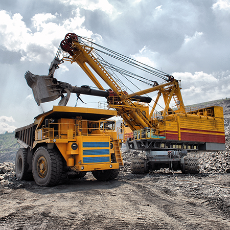
- Coal Mining - The Dye & Durham Ground Report includes an official CON29M report. Dye & Durham also provides an expert assessment and advice relating to non-coal mining hazards within Coal Authority data which will further help and provide support to conveyancers and prospective homeowners. As well as an integrated Mine Entry Interpretive Report where applicable, saving the client approximately £150 and speeding up the property transaction when a coal mine entry is identified within 20 metres of the property.
- All Other Mining - This module provides a property-specific assessment of over 55 different non-coal minerals that have been extracted across the UK. These include Cheshire brine, metalliferous (including tin and copper mining in Cornwall), limestone and gypsum and many more. This ensures your client’s potential exposure to all mining related risk is thoroughly assessed.
- Clay-related subsidence – This module provides an assessment of the risk to a property from clay subsidence, supported by our expert interpretation which assesses the influence of nearby trees. Included also is information on how climate change may affect the risk of clay subsidence in future and evidence of potential regional ground movement using satellite data.
- Natural ground perils – This module provides an assessment of all other natural groundstability hazards, including landslides, soluble rocks and the presence of recorded natural cavities. These natural ground conditions can have significant impacts on both existing and future developments and therefore and assessment and recommendations are provided, where relevant, for both the existing use of the property and when considering future development.
- Coastal hazards – Launched in September 2020, Dye and Durham were the first to provide a property-specific risk assessment of Coastal Hazards which provides key information, such as the risk of coastal collapse within 20 – 50 years, information on local Shoreline Management Plans and analysis of historic coastal landslides.
- Additional information – We provide additional information on ground hazards such as Oil & Gas activity, historic Mineral Planning permissions and Radon. These will show whether the property is identified within, or within the vicinity of a previously known mineral planning permission area, an onshore oil & gas license area and whether the property is within a ‘radon affected area’ as defined by the Health Protection Agency. Advice and next steps are provided where relevant, detailing how a potential purchaser can obtain further assurances regarding these hazards.
Dye & Durham Ground Stability Residential From £30.00
Delivery est. time 24hr
More products
Bath Stone
Identifies any historic underground extraction of Bath Stone or Fullers Earth or any metalliferous mining activity relating to the property.
Coal Authority - Ground Stability
Information on coal mining, brine subsidence claims and natural subsidence hazards
Coal Authority - Mine Entry Interpretive Report
This report provides additional information when mine entries have been revealed in the initial search.
Coal Authority - Mine Gas Emissions Report
Managing coal mine gas liabilities is part of the Coal Authority’s statutory obligations.
Coal Authority - Search Not Required Certificate
Confirmation that an official search is not required.
Coal Authority - Subsidence Claim
Managing coal mining subsidence claims is part of the Coal Authority’s statutory obligations.
Coal Authority - Subsidence Claim 50m buffer Report
Managing coal mining subsidence claims is part of the Coal Authority’s statutory obligations.
Coal Authority - Subsidence Claim History Report
Managing coal mining subsidence claims is part of the Coal Authority’s statutory obligations.
Coal Authority - Surface Hazard incident report
Managing coal mining surface hazards is part of the Coal Authority’s statutory obligations.
Coal Authority CON29M
Information on coal mining and any claims made for the remediation of subsidence.
Coal Authority Consultants Coal Mining Report
Designed by environmental consultants and geotechnical engineers, offers essential data and guidance on historic coal mining activity and the potential issues.
Dye & Durham Enviro Standard
Environmental + Flood + Ground Stability (with a Professional Opinion provided on all data) Contains all of the information from the Dye & Durham Essential report and includes Ground Stability data.
Dye & Durham CON29M Report
The Dye and Durham CON29M report is an official Law Society legal search form used when buying and selling domestic properties within coal mining reporting zones.
Dye & Durham Enviro Essential
Environmental + Flood (with a Professional Opinion provided on all data) Meets the requirements of the Law Society’s guidance on flooding and contaminated land.
Dye & Durham Flood Appraisal
A property specific analysis of flood risk designed to provide additional insight following a Flood ‘Further Action’ result on an initial environmental search.
Dye & Durham Planning
Comprehensive planning information enabling homebuyers to make informed decisions.
Dye & Durham Premium
Environmental + Flood + Ground Stability + Energy & Infrastructure (with a Professional Opinion provided on all data)
Dye & Durham Premium Plus Planning
A discounted combined product of the Dye & Durham Plansearch and Envirosearch reports.
Groundsure Enviro All-in-One
Enviro All-in-One is a fully integrated residential environmental risk report, brought to you by Groundsure and the Coal Authority.
Groundsure Cheshire Salt Search
Groundsure is the sole provider of the Cheshire Salt Search report in partnership with the Cheshire Brine Subsidence Compensation Board.
Groundsure CON29M
The Groundsure CON29M Official Coal Mining Search is an official CON29M coal mining report for residential or commercial properties, brought to you by Groundsure and Mining Searches UK licensed by the Law Society using official Coal Authority Data.
Groundsure GeoRisk
Historic mining and ground stability affects properties across the country - your clients’ transactions need protecting. GeoRisk is now the standard to provide that protection and assurance.
Groundsure GeoRisk+
Historic mining and ground stability affects properties across the country - your clients’ transactions need protecting. GeoRisk is now the standard to provide that protection and assurance.

Landmark Coal Residential
The Landmark Coal residential report in collaboration with mining experts Pinpoint is a Regulated, CON29M compliant Coal Report.
Landmark Coal CON29M
Landmarks CON29M Law Society-accredited coal report in collaboration with mining experts PinPoint, provides property-specific information relating to past, current and future underground and surface coal mining activities, for properties or sites in England, Scotland and Wales.
Landmark SiteSolutions Residence
The Argyll SiteSolutions Residence report is a fully consultant led contaminated land and flood risk assessment.
Lawyer Checker
Dye & Durham's Lawyer Checker checks the sort code and account number of a vendor conveyancer against a constantly updated database of historical property transactions.
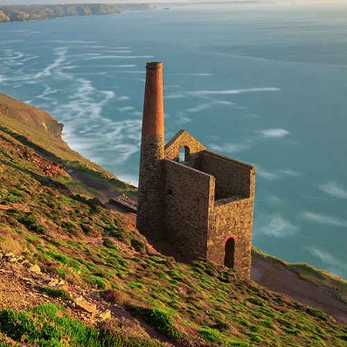
Tin - Cornwall Consultants
This is search is submitted to Cornwall Consultants and the result includes information on the presence of disused underground metal mining workings that could cause subsidence, etc.